Tesla Fire, CA-SCU-Tesla, Vegetation Fire, Alameda County
Fast moving vegetation fire burning in Livermore hills east of Livermore Laboratory and Carnegie State Off-road Vehicle Park burning on both sides of Tesla Rd. Carnegie Park has been evacuated.
Updates:
08/21/2015 0900: 2,500 acres - 75% contained
08/20/2015 1600: 2,500 acres - 45% contained
08/20/2015 1100: Mapped 2500 acres, AA return at 1600hrs during heat of the day, Dozer or handline all the way around fire.
08/20/2015 0700: 2500 acres - 25% contained One uninhabited structure destroyed,
08/19/2015 2025: per AA 2500 acres, 5% contained. Copter 106 to Livermore, 912 to Castle, Bravo 58 to McClellan AA230 released all aircraft off the fire and accounted for.
08/19/2015 1915: 1500+ acres, Pulling Resources from the north end of the Sac Valley to fill and backfill incident resource orders. Onshore winds are a factor in the spread of this incident.
08/19/2015 1830: 1000+ acres
08/19/2015 1810: 800+ acres, Tam Crew on scene, four Golf ST's ordered...
08/21/2015 0900: 2,500 acres - 75% contained
08/20/2015 1600: 2,500 acres - 45% contained
08/20/2015 1100: Mapped 2500 acres, AA return at 1600hrs during heat of the day, Dozer or handline all the way around fire.
 |
| CA-SCU TESLA FIRE TOPOGRAPHIC HOTSPOT LOCATION MAP 8-20-15 |
 |
| CA-SCU TESLA FIRE TOPOGRAPHIC LOCATION MAP 8-20-15 |
 |
Tesla Fire Perimeter and Hotspot Map |
 |
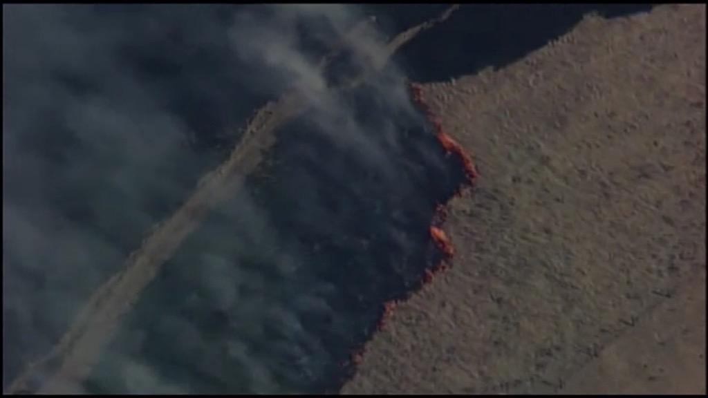
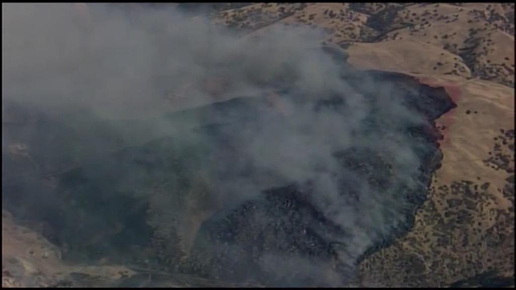
| Tesla Fire Credit: ABC7 News @abc7newsBayArea |
08/19/2015 1915: 1500+ acres, Pulling Resources from the north end of the Sac Valley to fill and backfill incident resource orders. Onshore winds are a factor in the spread of this incident.
08/19/2015 1830: 1000+ acres
08/19/2015 1810: 800+ acres, Tam Crew on scene, four Golf ST's ordered...
 |
| Tesla Fire Location Map 08/19/2015 |
 |
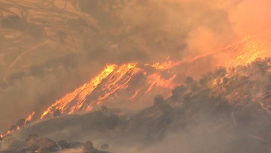
| Grass fire is burning east of Livermore off Tesla Rd, photos via @nbcbayarea Chopper 11. |
08/19/2015 1730: LG ST 2310 c assigned, Powerlines are a problem for aircraft, 1 copter working head of fire ahead of structures, 1 copter inbound. AA440 Tanker 912 inbound eta 1743, AA230 now lead... restricted airspace area over lab.... AA reports fire at 200 acres, likely to go to 400.
08/19/2015 1615: 200 acres. 0% contained. Burning in grass at a dangerous spread rate. 500kv power lines threatened. Fire is located 11 miles east of Livermore in Alameda county. VLAT 912 en route to the fire now. 4 S2's currently working the fire. LNU 9144C en route to the fire immediate need- to form up at the scene.
08/19/2015 1600: Requesting VLAT or a large airtanker that does not need a lead plane. Lead for VLAT will be out of Redding which will delay use of VLAT.
Date Started: August 19, 2015 2:45 pm Location: Tesla Rd and Corral Hollow Rd. Altamont pass
IA Acres: 100+
ROS: Rapid
ROC: IC reporting 100 plus acres fire is on both sides of Corral Hollow Road
Structure Threats: not currently
Resources: LNU 9144C(I believe) enroute to the fire immediate need to form up at the scene
Online Scanner: http://www.broadcastify.com/listen/feed/17667/web
| Cause: | Under Investigation | |
| Total Fire Personnel: | 257 | |
| Total Fire Engines: | 53 | |
| Total Fire crews: | 4 | |
| Total Dozers: | 6 | |
| Total Water Tenders: | 2 | |
| Long/Lat: | -121.3732/37.3845 | |
No comments:
Post a Comment
CAL FIRE NEWS LOVES COMMENTS...
- Due to rampant abuse, we are no longer posting anonymous comments. Please use your real OpenID, Google, Yahoo, AIM, Twitter, Flickr name.