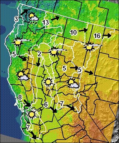
A high pressure ridge off the west coast will pass over the North Ops region on Sunday. On Monday low pressure following the ridge will begin to affect the region. Winds will increase out of the S-SW, gusting to 30-40 mph over higher terrain and wind-prone areas. Humidity will be higher and clouds will increase over the area, and by late afternoon scattered rain showers will develop in coastal areas. Rain and high elevation snow (6000 ft or higher) will spread across the entire region Monday night, and continue into early Wednesday before breaking up into scattered to isolated showers. A cool and humid SW-West flow will continue over the region through the weekend with a chance of rain each day in far NW CA.
Source: http://gacc.nifc.gov/oncc/predictive/weather/wxdisc.htm
No comments:
Post a Comment
CAL FIRE NEWS LOVES COMMENTS...
- Due to rampant abuse, we are no longer posting anonymous comments. Please use your real OpenID, Google, Yahoo, AIM, Twitter, Flickr name.